
Ames ZIP Code Coverage
Official material supports several different levels of connection to Ames. Iowa public-safety data calls 50010 a standard Ames and Story County ZIP, while 50011 and 50012 are unique ZIPs. A Story County health assessment also uses 50014 and 50105 for a broader Ames-area study. Postal bulletins add routing references for 50013. Those sources do not make every row an Ames city boundary, so each address still needs USPS verification.
| ZIP Code | Areas Covered | Post Office | Notes |
|---|---|---|---|
| 50010 | Broad Ames and Story County delivery area | Ames Post Office, 525 Kellogg Ave | Standard ZIP; city and postal lines can differ |
| 50011 | Iowa State campus and institutional delivery | Iowa State Mail Services | Unique ZIP with destination-specific ZIP+4 codes |
| 50012 | Ames unique-ZIP use | Exact institution not confirmed | Verify the full address before assigning an area |
| 50013 | Ames routing context in USPS bulletins | Current facility not confirmed | Verification-only until an address lookup confirms it |
| 50014 | Ames-area residential study geography | Exact station not confirmed | May include addresses outside the city line |
| 50105 | Broader Ames-area study geography | Not established as an Ames city ZIP | Regional clue, not city-limit proof |
The table is deliberately cautious. A ZIP code describes mail delivery, while an incorporated city is a legal boundary. Ames annexations and campus routing make those systems overlap without matching. The strongest answer for one property comes from the complete address in the official postal lookup, followed by the parcel situs and city-limit map.
Ames ZIP 50010
ZIP 50010 is the broad standard starting point for Ames and Story County addresses. The Ames Post Office uses 50010-9998 at 525 Kellogg Avenue. Its listed retail hours are 8:00 a.m. to 4:30 p.m. Monday through Friday and 9:00 a.m. to noon Saturday, with local phone 515-232-1113. Hours and services should still be checked before a visit.
The successful manifest image comes from the official Ames Post Office location page.
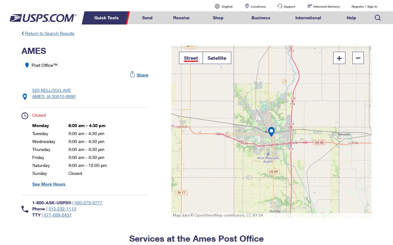
The office address confirms a postal facility and its own ZIP+4. It does not draw the outer residential boundary of 50010 or prove that every Ames mailing address lies inside the city.
Ames Campus ZIP Codes
ZIP 50011 is tied to Iowa State and institution-specific delivery. Iowa State Mail Services is at 184 General Services Building, 700 Wallace Road, Ames, and lists weekday hours from 8:00 a.m. to 4:30 p.m. Campus examples show why the last four digits matter: 2401 Osborn Drive uses 50011-2401, while a maintenance address uses 50011-0001. Research Park at 2600 South Loop Drive uses 50010-8695.
Those examples show that campus affiliation does not force every university-related address into the same five-digit area. ZIP 50012 is also identified as a unique Ames ZIP in Iowa public-safety data, but the inspected official sources did not establish its exact present institution or delivery footprint. Verify it address by address instead of drawing a neighborhood around the unique label.
Campus check. A five-digit Ames ZIP code can route an institution, while ZIP+4 directs mail to a far more specific campus destination.
Ames Area ZIP Warnings
ZIPs 50013, 50014, and 50105 need extra care. USPS destination-container bulletins have used 50013 and 50014 in an Ames 50010 routing context. Story County's 2025 Community Health Needs Assessment includes 50014 and 50105 in its Ames-area residential study. Neither fact alone proves that an address belongs within Ames city limits.
Use the regional rows as leads, not labels. A 50105 match may be useful when looking across the greater Ames area, but the Iowa public-safety Ames row did not list it as an Ames ZIP. The exact post-office assignment for 50013 and 50014 was not confirmed in the inspected sources. The Ames ZIP code directory therefore keeps these separate from the verified standard and unique designations.
Searching Ames Residents by ZIP
A ZIP works as a filter only when the portal truly accepts it. The Iowa voter lookup requires a first name, last name, and five-digit ZIP. That makes it a registration confirmation tool, not a way to browse everyone in a postal area. The Story parcel service exposes both a situs postal code for the parcel location and a mailing postal code for the owner's mail. Those can differ.
- Enter the full street address in the USPS ZIP Code Lookup. Save the standardized address and ZIP+4.
- Open the Ames or Story parcel record. Compare FullSitus and SitusPostalCode with the owner's separate mailing fields.
- For one named voter, use first name, last name, and the registration ZIP in the Iowa public lookup. Do not treat it as a bulk directory.
- If the result needs street-level context, use the Ames street directory workflow for parcels, deeds, and address records.
A full Iowa voter-list request is different. Iowa Code section 48A.39 limits its use to specified political, research, or official purposes, and the state form requires an intended use, signature, payment, and jurisdiction choices. A general request cannot turn that restricted file into an open Ames ZIP code directory.
Ames ZIP Voter Fields
The Iowa voter-registration lookup currently shows a short public form. It confirms a named registration by ZIP rather than returning all Ames residents in that code. The page also warns that polling places may change and tells a voter who moved to register in the new county.
| Field | Type | Required | Format |
|---|---|---|---|
| First name | Text | Yes | Up to 50 characters |
| Last name | Text | Yes | Up to 50 characters |
| ZIP code | Text | Yes | Five digits, not a guessed ZIP+4 |
| Search / Clear | Buttons | No | Run or reset the form |
Do not infer a vote choice from election participation. The broader list form distinguishes contact information from election-participation history, but participation never discloses how a ballot was marked. Safe at Home can also shield an eligible participant's actual voter address.
Ames Parcel ZIP Fields
Story County's public parcel layer separates FullSitus, SitusCity, SitusState, and SitusPostalCode from MailOwnerName, mailing lines, MailCity, MailState, and MailPostalCode. That split is vital for a ZIP code directory. The situs fields describe where the land is recorded. The mailing fields show where the tax notice goes, which may be outside Ames or outside Iowa.
The Ames City Assessor explains that local property records include ownership, selling prices, values, and physical characteristics. The matching manifest image records that official entry point.
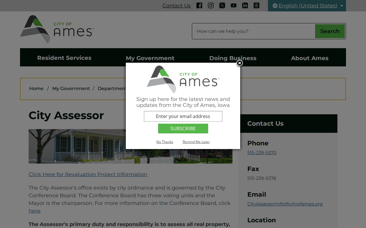
Use the assessor record to inspect one parcel, then use the Story GIS layers to compare the city limit. The live consumer search did not yield a verified ZIP-wide filter in the research capture, so do not promise one.
Historic Ames Addresses Before ZIPs
ZIP codes did not exist in the early Ames directory years. Search those sources by city, ward, rural route, street, or householder. Ames also changed many street names in 1910. Boone became Lincoln Way, Broad became Sheldon Avenue, College Street became 7th, Onondaga became Main, Park became 14th, and Woodford became Wood.
A modern five-digit search will miss those forms. Bridge the old street name to the current one, compare the block or intersection, and use the parcel's legal description when possible. Annexation can also move the same tract from a rural Story County label into Ames without giving a clean one-for-one change in postal geography.
Ames ZIPs Versus City Limits
Postal geography answers where USPS routes a piece of mail. City limits answer which municipal government serves the parcel. Situs fields answer where the parcel sits, and voting or school layers answer still different district questions. An Ames mailing city can therefore appear on a rural Story County parcel, while a parcel inside Ames can use a campus or unique ZIP.
Annexation changes municipal jurisdiction but does not guarantee an instant postal reassignment. Do not use a precinct, subdivision, school district, neighborhood, or carrier route as a stand-in for a ZIP boundary. For civic jurisdiction, compare the City Limits layer and legal parcel. For mail, trust the address-level USPS result.
- ZIP and ZIP+4
- The first five digits name a delivery area; four more digits narrow mail to a smaller destination, route, building, or unit.
- PO-box ZIP
- A code or ZIP+4 used for post-office-box delivery rather than a map of homes.
- Unique ZIP
- A code assigned for a high-volume institution or organization, such as a campus system.
- Carrier route
- The set of delivery points handled on one postal route; it is not a city or voting boundary.
Note: Verify the postal code, parcel situs, and Ames city limit separately because each system answers a different location question.