
What Public Sources Show About Ames Neighbors
Each block source answers a different question. Story GIS is the visual index, parcel records identify record ownership, and city maps label civic areas. A voter confirmation checks one known name and ZIP, not everyone nearby. Start with the source that matches the question, then verify a fact in the office record that controls it.
| Block source | What it can show | How to access it |
|---|---|---|
| Story GIS parcel map | Touching parcel geometry, IDs, situs, owner and district fields | Public map and REST query |
| Beacon property search | One property by address, name, or parcel ID | Public web search; live fields can change |
| Iowa Land Records | Deeds, plats, parties, dates, and legal descriptions | Free account search; image limits vary |
| Ames neighborhood map | Named association areas and approximate civic geography | Public city PDF |
| Ames permits | Permit, inspection, registration, or code-case history by address | EnerGov and monthly PDF fallback |
| Directory street guides | Historical listed householders in address order | Library and museum collections |
Record ownership can belong to a person, trust, estate, or company. The mailing address can differ from the property situs. Neither field is a verified roll of all current Ames neighbors.
Map the Parcels Around Your Ames Neighbors
Use the Story County GIS gallery to find an address and orient the block. Public map services support map display, identify, and query, but the research did not confirm a consumer-facing “neighbors” or radius button. The sound method is to inspect parcels one at a time.
- Locate the target address and select its parcel polygon.
- Copy PARCELID, FullSitus, OwnerName, and the legal description.
- Keep parcel lines on, then click every touching parcel and the next parcel along the frontage.
- Log its direction, street side, parcel ID, and whether a right-of-way separates it.
- Compare the same ownership, mailing, situs, deed, tax-year, and district fields.
The Ames GIS map collection provides a city-side visual entry to local mapping.
For a full named-road workflow rather than the immediate block, move to the Ames street directory.
Compare Ames Neighbors One Parcel at a Time
The Story parcel layer exposes PARCELID, OwnerName, separate owner-mail fields, FullSitus, Legal, deed and contract references, acreage, values, property class, tax year, and districts. Shared ownership does not mean a shared household. The owner’s correspondence address may sit outside Ames or match the property, while FullSitus describes the mapped location.
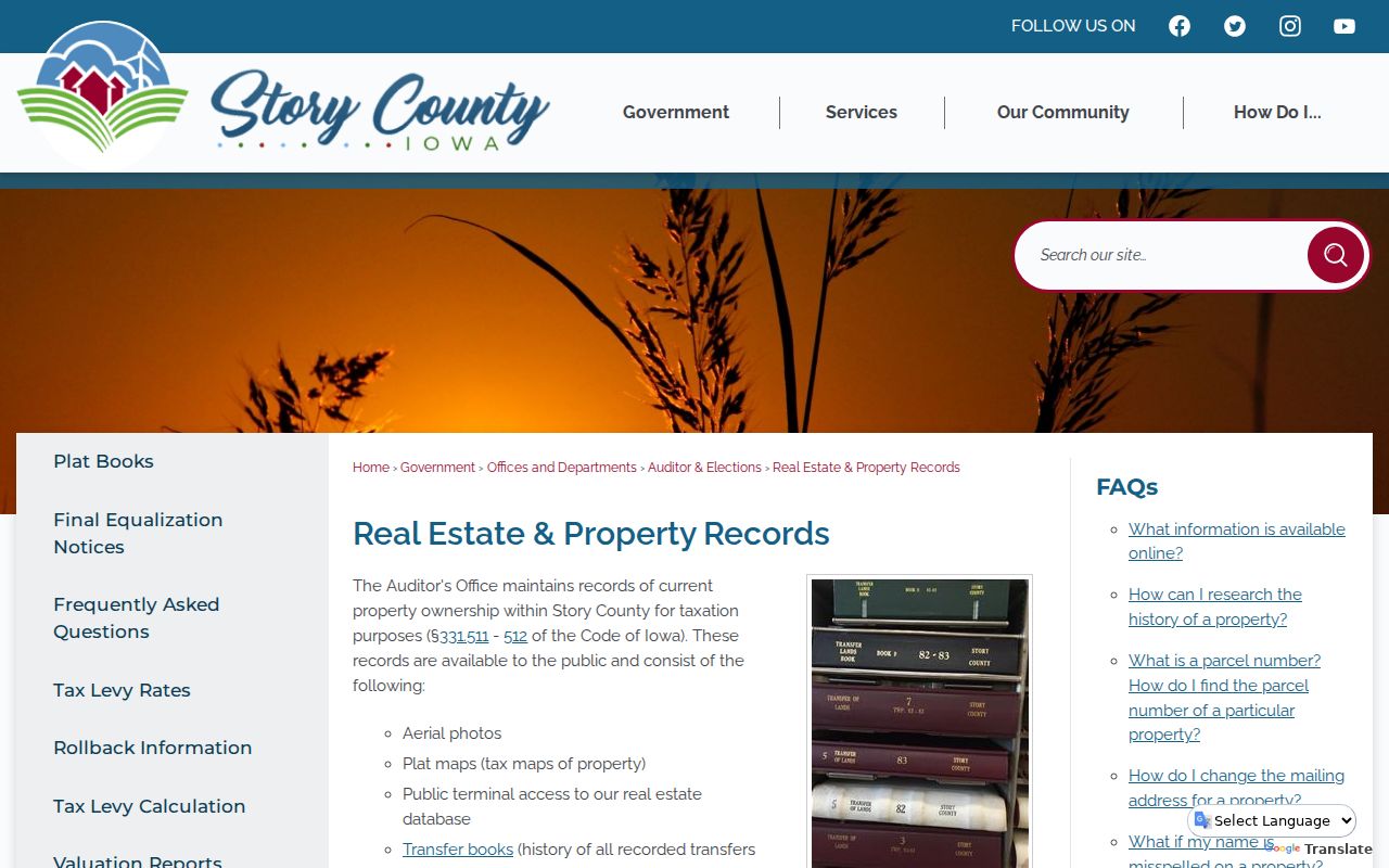
The Story County real-estate records page explains the Auditor’s ownership, transfer-book, map, and public-terminal channels.
Use a parcel result to identify which office record to inspect next. A deed or plat controls title and legal placement; GIS is not a survey and should not settle a boundary dispute.
Civic Layers Around Ames Neighbors
Story GIS publishes City Limits, Subdivisions, Lots, Roads, Precincts, School Districts, drainage, fire, zoning, land-use, and right-of-way layers. Turn on only the layer needed for the question. Two touching parcels can share a street but fall into a different taxing, school, drainage, or civic area.
- Parcel boundary
- A mapped tax or cadastral unit, subject to the controlling deed, plat, and survey.
- Situs
- The mapped property location rather than the owner’s tax-mail destination.
- Right-of-way
- Land reserved for a road or public corridor that may separate map polygons.
A precinct lookup assigns an address to an election district. It does not reveal every registered person nearby. Likewise, the city-limit layer is not a postal ZIP boundary or an association roster.
The Ames Neighborhood Map Is Not a Resident Roster
The city’s Strong Neighborhoods program and association map label 27 areas. The research found no public member roster for those labels. Use them to learn a block’s community name and civic contact path, not to infer who belongs.
| Map label | Map number | Public directory status |
|---|---|---|
| Historic Old Town | 6 | No member roster located |
| Westside | 23 | No member roster located |
| South Campus Area | 32 | No member roster located |
| Emanon | 38 | Historical association; no current roster located |
| Roosevelt | 50 | No member roster located |
| West Towne | 53 | No member roster located |
The Strong Neighborhoods page is the official entry for city engagement around Ames neighbors.
Other labels include Northridge and Stone Brooke HOA areas, Timberland Road, North Old Town, Somerset Village, Bloomington Heights, and Reiman West. A label marks geography, not the legal edge of each parcel or a household list.
Emanon Gives Ames Neighbors a Dated History
Ames History Museum says Emanon began on October 28, 1929 and is the oldest continuing Ames neighborhood association. Its original territory was Roosevelt Avenue between 10th and 13th, later expanding toward Marston. The history describes a 24-person membership limit, admission by vote, monthly meetings, and an annual picnic beginning in 1930.
This is an unusually detailed community record, but it is not a present-day directory. It shows how neighborhood identity can have a documented origin while the modern city map offers named geography without publishing member names. That distinction matters whenever a search for Ames neighbors shifts from land records to community history.
Iowa Voter Search Cannot List Ames Neighbors by Block
The public Iowa voter lookup uses first name, last name, and ZIP. It does not offer a browse-by-street or block roster. A full voter-list request has jurisdiction, active-status, contact, participation, and election options, but use is limited to purposes allowed by Iowa Code section 48A.39.
A precinct or polling-place result places an address in election geography, not a list of people on that block. Iowa Safe at Home may give an eligible participant a substitute voter address. Never try to reverse that protection. A missing voter result also does not prove that a person moved, since registration status, search inputs, and confidentiality can affect what appears.
Read Change Around Ames Neighbors Through Permits
The Ames permitting and inspections page routes users to plans, permits, inspections, registrations, and code cases. Monthly permit PDFs are a fallback when the live EnerGov search does not load.
A permit can date construction or alteration and may name an applicant, contractor, or owner. It does not identify everyone who lived on the block. Use it as property-change context beside the parcel and deed, not as a household record.
Neighborhood Connections for Ames Neighbors
The city’s dated Neighborhood Connections initiative documents a public civic-engagement route.
It can help identify public events and city contact points, but it does not release association membership or resident addresses. Current program details can change, so check the city page before relying on an event or grant date.
Privacy Boundaries for an Ames Neighbor Lookup
Official rolls are narrow and accountable: a parcel record identifies the record owner, a deed records a transaction, and a city map labels civic geography. A commercial neighbor tool may merge names and addresses from many sources, but its result can be stale, misjoined, or unclear about origin. Neither category proves every current occupant.
Household members, utility customers, delivery data, protected voter addresses, and many personal contact fields do not become public merely because a parcel is visible. Historical street guides can show listed householders in address order, but they are snapshots from their publication date. Keep a source date beside every name.
Lawful use. Learn about Ames neighbors for civic participation, local history, reconnecting, or personal safety awareness. Do not use public records to watch, intimidate, stalk, or harass anyone.