
Walk an Ames Street Record
An address search works best as a chain of small checks. The City Assessor and Story County GIS identify a parcel and its record owner. Iowa Land Records then connects that owner to recorded instruments. A voter lookup cannot browse a street, and a printed directory may describe an earlier household, so neither should be treated as a live occupant list.
- Enter the street number and name in the Story/Ames Beacon property search. Copy the parcel ID, current owner, situs address, mailing address, and legal description.
- Open the Story parcel map and identify the same polygon. Pan along the road, checking each parcel separately instead of assuming one owner or one legal lot covers the block.
- Use the current owner and legal description in Iowa Land Records. Search the owner as grantee, then compare instrument number, book and page, recorded date, lot, block, or subdivision.
- Check permits and older reverse directories only for the period they cover. A permit may name an applicant, while a directory lists selected householders rather than all residents.
- When a name is already known, the Iowa voter lookup can test that name with its ZIP. It does not offer a public street-wide roster.
This sequence keeps each fact in its proper role. The parcel roll answers who owns record title now. The deed index identifies parties to transfers. A householder guide or telephone book supplies a historical listing, not proof of present occupancy.
Ames Street Directory Fields
The public Beacon landing page advertises search by name, address, or parcel ID. Because its live controls did not load during research, the stable Story County parcel service supplies the detailed result fields. Keep the exact parcel number and leading zeroes. Story County describes its grouped format as township, section, block, and parcel.
| Field or control | Kind | How it helps by address |
|---|---|---|
| State and area | Selectors | Choose Iowa and Story County or Ames before searching. |
| Name, address, parcel ID | Search text | Use one known value, then copy the other two from the result. |
| OwnerName | Result field | Shows the current record owner, which may be a person, trust, estate, or entity. |
| MailOwnerName and MailLine fields | Result fields | Show where owner correspondence is sent, not where that owner lives. |
| FullSitus and Situs fields | Result fields | Identify the mapped property location and postal code. |
| Legal and SecTwpRange | Result fields | Bridge the street address to deeds, plats, and older land descriptions. |
| Deed and contract fields | Result fields | Provide book, page, date, and instrument references for the next search. |
A parcel report may also show tax year, class, acreage, values, unit count, and taxing districts. Those facts describe land administration. They do not name each person who uses the address.
The Story County parcel layer exposes the address and ownership fields behind a map query.
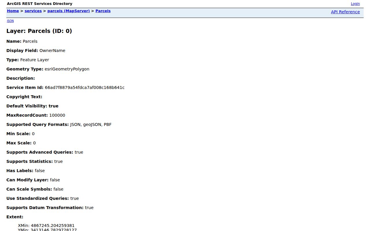
The captured service view confirms that the official parcel source supports map and attribute inspection, while legal boundary questions still belong with the recorded deed, plat, or survey.
Address Records Across Ames Streets
No single Ames street directory contains every useful address fact. Current property, recorded land, city permit, election, and historical sources each cover a different slice. The access channel also matters: some material is online, while older books or complete documents require an office, library, or archive.
| Address source | Custodian | Useful street evidence | How to reach it |
|---|---|---|---|
| Property roll | Ames City Assessor and Story County Auditor | Owner, situs, mailing address, parcel, value, legal description | Beacon, public terminal, or office help |
| Parcel GIS | Story County GIS | Parcel shapes, roads, lots, subdivisions, city limits, districts | ArcGIS gallery and public REST services |
| Deeds and plats | Story County Recorder | Grantor, grantee, instrument, date, book/page, legal description | Iowa Land Records, Recorder counter, or archive books |
| Permits and code cases | City of Ames Inspections | Projects, applicants, owners, contractors, and inspection events when shown | EnerGov, monthly permit PDFs, or records request |
| Voter registration | Iowa Secretary of State and Story County Auditor | Name and ZIP confirmation; no public street browse | Public lookup or restricted-purpose list request |
| Reverse directories | Ames Public Library and Ames History Museum | Listed householders by street and number in editions with a street guide | Heritage Room, museum, or digitized edition |
The parcel ID and legal description are the firmest links across systems. Street spelling alone can fail after a rename, rural route change, annexation, or postal adjustment.
Map Ames Streets Parcel by Parcel
Story County publishes both an ArcGIS gallery and direct cadastral services. Pan to the street segment, keep parcel boundaries visible, and use identify or query on one polygon at a time. Useful layers include parcels, lots, subdivisions, roads, right of way, city limits, school districts, precincts, zoning, land use, drainage, and fire districts.
Nearby parcels may have separate legal descriptions even when they share an owner. A right of way can also separate parcels that appear close on screen. Copy FullSitus, PARCELID, OwnerName, Legal, and the deed reference for each selected shape before moving on.
The Story County GIS gallery collects the county's public mapping resources.
The gallery is the visual entry point; the parcel service supplies the attributes needed to connect a map click with a property and deed search.
The Story County cadastral map service exposes city limits, rights of way, county boundaries, geoblocks, and parcel layers.
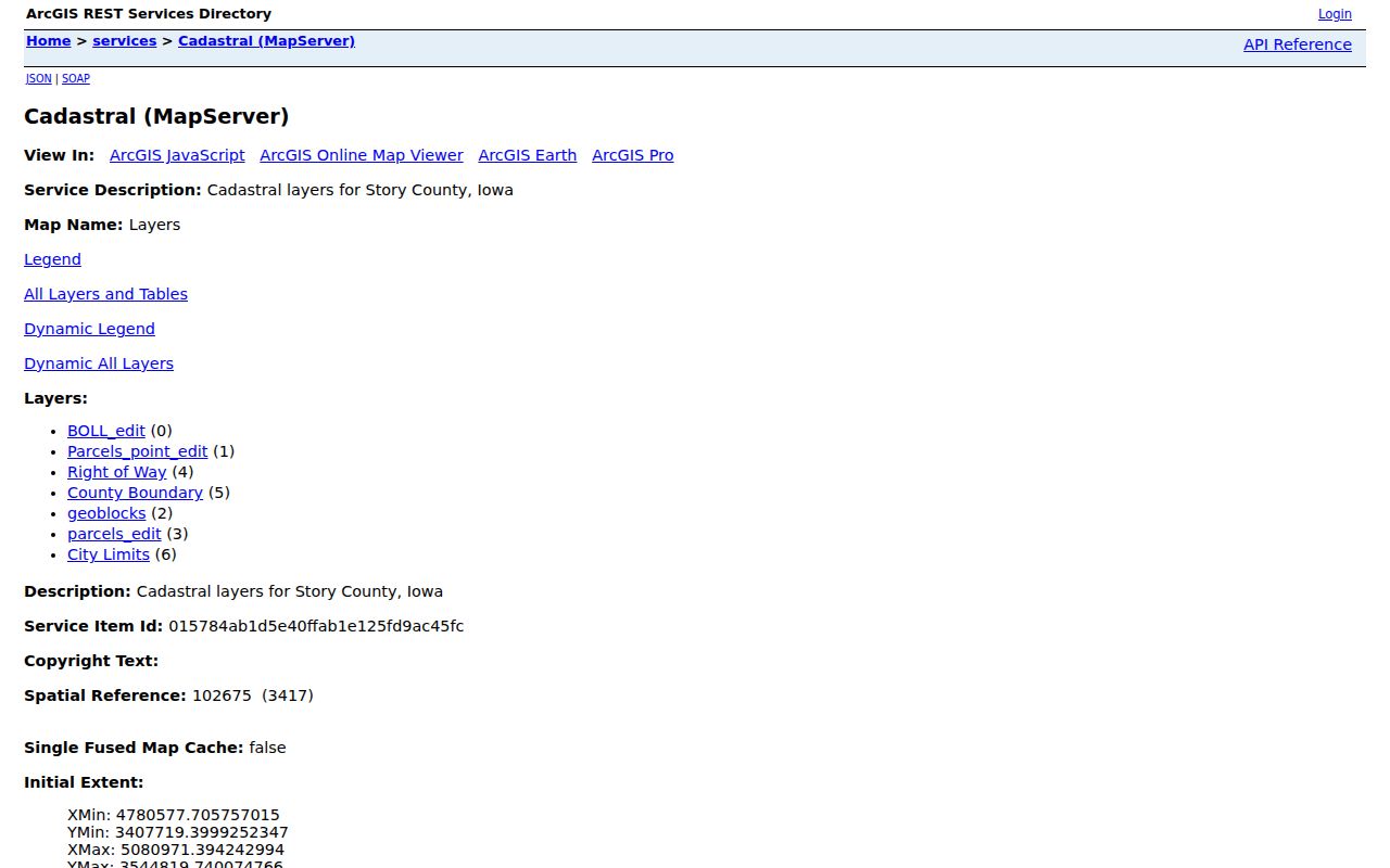
Those layers explain why two addresses on one road may sit in different civic areas, but they do not replace an original survey or recorded plat.
Decode Ames Address Terms
Four terms prevent common mistakes in a search by address. Define them before comparing records from the assessor, GIS, Recorder, and a printed street guide.
- Parcel
- A mapped unit of land with its own identifier and legal description. One postal address can involve more than one parcel.
- Situs address
- The mapped location of the property. It is distinct from the address where an owner receives tax mail.
- Plat
- A recorded map that lays out lots, blocks, streets, and subdivisions. It helps bridge modern addresses to legal land descriptions.
- Criss-cross directory
- A directory arranged by street and house number instead of by surname, useful for finding the listed householder at an older address.
The mailing-versus-situs split is especially important in Ames. A record owner can receive mail outside the city, while the parcel itself remains within the Ames assessor's jurisdiction.
Note: Treat a tax-mailing address as correspondence data, never as proof that the owner occupies the Ames parcel.
Connect Ames Streets to Deeds
Iowa Land Records is searched by party and document criteria, not as a street roster. Select Story County, enter the current owner as grantee, and use a recorded date range when known. Compare the result's legal description and instrument reference to the parcel card before accepting a match.
Then read the purchase instrument for the grantor, the party transferring an interest. Search that seller as a prior grantee to move back another step. Name variants, initials, trusts, estates, and multiple parcels can create false matches, so lot, block, subdivision, and legal description remain the controls.
The Story County page describes online land history reaching back about 1860. Older routes survive in State Historical Society series, including land and town-lot indexes that begin in 1853. Counter service at the Story County Recorder and archive research are the fallback when online images or dates stop.
Ames Streets Changed in 1910
A council action on March 30, 1910, followed by publication on March 31, changed many Ames street names. That local event can make an older directory, newspaper notice, or map look unrelated to a current parcel. Boone became Lincoln Way, Iowa became 6th, Story became 5th, and Onondaga became Main. Other changes included Woodford to Wood, Park to 14th, and Pearl to 10th.
Search both names. Confirm the block through an intersection, lot, subdivision, or legal description rather than matching the house number alone. City annexations add another break: an address may appear as rural Story County in an early source and as Ames later.
This is the strongest recovery tip in the Ames street directory. It can restore a chain that seemed to vanish between directory years.
Note: A missing modern street-name hit may be an old-name problem, not evidence that the person or property record is absent.
Ames Permits Follow Addresses
City permit and inspection records add a building-event layer. The Ames EnerGov portal covers plans, permits, inspections, registrations, and code cases. Monthly permit PDFs provide a second route when the live app does not load, while the Inspections office can help route a request.
A permit may name an owner, applicant, contractor, project type, or inspection event. It can help date an addition or alteration. It is not proof that the named person lived at the site, and not every project or older event will appear in the web interface.
The Story County maps and geographic data page provides the county's official map catalog beside this city permit layer.
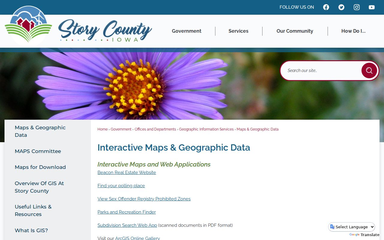
Together, the map catalog and permit route show where a property sits and what public project history may be tied to its address.
Older Ames Streets in Print
The Ames Public Library Heritage Room holds city directories for selected early years and a continuous run from 1963 to the present, plus many telephone books. Editions with a householder or street guide reverse the usual name search: streets appear in order, followed by house numbers and listed householders.
The 1949 Polk directory has an alphabetical name section and a householder street-and-avenue guide. Ownership marks printed by a publisher are clues, not deeds. For full collection details and how to read the marks, use the Ames city directory collections rather than applying a symbol from one edition to all years.
When no digital image exists, visit or contact the Heritage Room, the Ames History Museum Reading & Research Room, or the State Historical Society. Give staff the address, date range, old and new street names, and desired source.
Request Missing Ames Street Records
A failed web search is not the end of the address chain. The Story County Auditor maintains a public real-estate database terminal and transfer history. The Recorder holds recorded land transactions. Ames Public Library and Ames History Museum cover printed directories, maps, newspapers, and local history.
For a nonconfidential county administrative record, Story County accepts requests in person, by phone, email, or writing under Iowa Code chapter 22. Its optional form can state the address, date range, department, desired format, and delivery method. The county normally expects research or response within 10 business days, with a good-faith confidentiality review that can extend to 20 calendar days.
Ask the office that created the record first. A general open-records request does not bypass voter restrictions, private utility data, or a Recorder's separate copy rules.
Limits of an Ames Street Directory
Public parcel data names record owners, not all occupants. A deed names parties to an instrument. A permit names people connected to a project. A voter match confirms only what the election system lawfully returns for the searched person. None produces a full household list.
Protected voter addresses, motor-vehicle address data, private utility accounts, delivery records, and confidential files remain outside an ordinary search. Safe at Home can provide eligible survivors with a substitute mailing address and confidential voter participation, although prior real-estate records are not erased by enrollment.
Lawful use. Use Ames address records for legitimate personal research, civic understanding, and family or property history. Never use a result to stalk, harass, threaten, or harm anyone.